


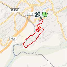

2.3 km | 3.7 km-effort


User


FREE GPS app for hiking
 SityTrail
IGN / Geographical institutes
SityTrail World
The world is yours!
Trail Walking of 4 km to be discovered at Réunion, Unknown, Le Tampon. This trail is proposed by olive2b.
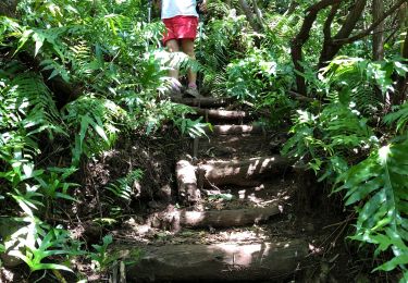
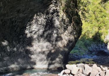
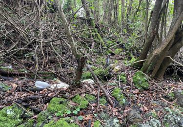
Balade agréable sur la première partie du chemin quand on descend dans la ravine de la rivière d'abord. La seconde partie est juste une liaison jusqu'à la troisième partie qui est le parcours sportif.


Walking

Walking
Walking

Walking
Walking
Walking
Walking
Walking
Walking